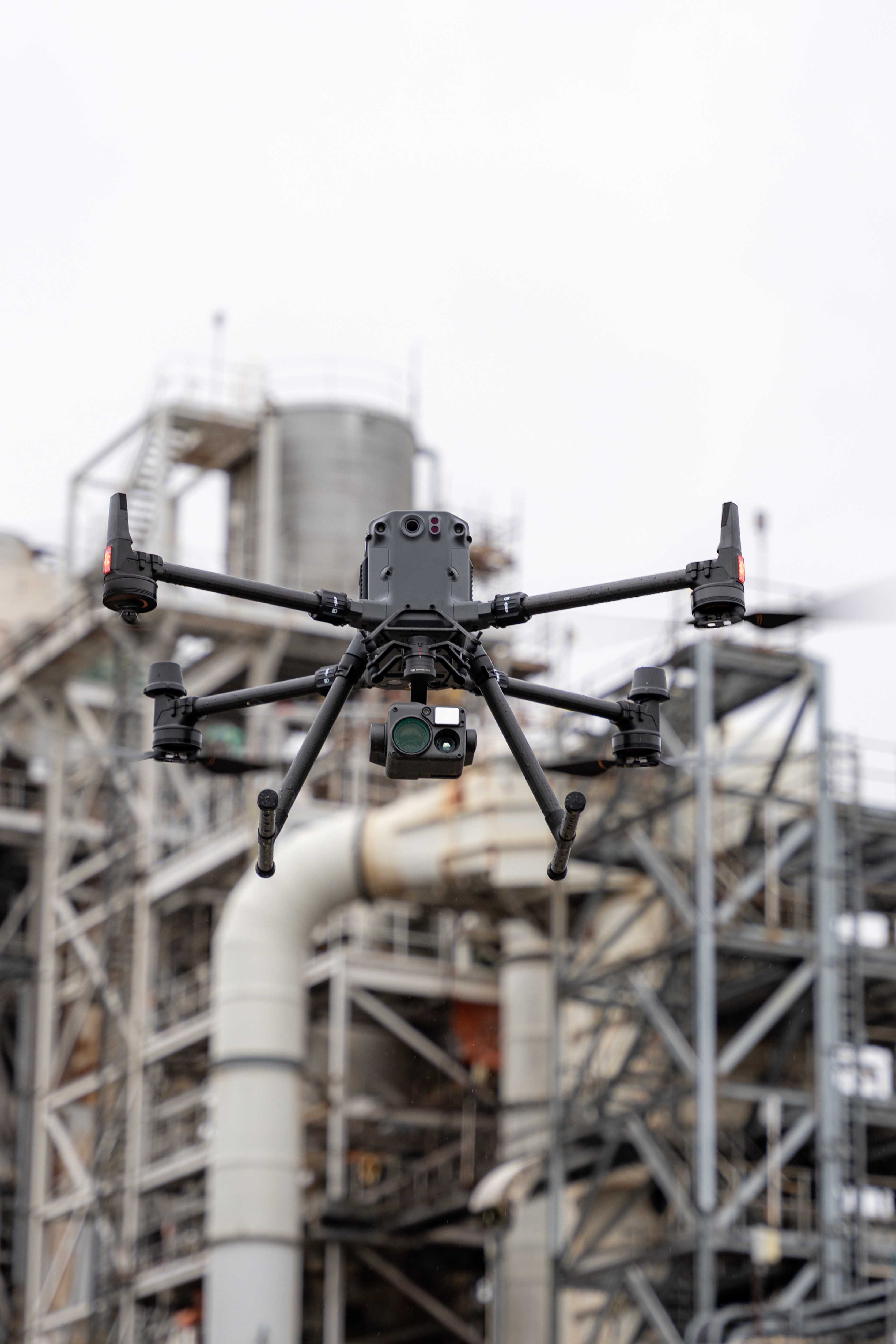
Zambezi Drone Solutions Zambia is a drone solutions and geospatial service provider with offices in Lusaka, Zambia. We offer complete drone and geospatial capabilities for your projects and daily operational needs from urban and agricultural areas to industry locations.
Survey and Mapping
Infrastructure Monitoring
Cinematography
Agriculture
Geospatial Services
Drone Hiring
We provide precision agriculture, crop monitoring, mapping and surveying, livestock monitoring services
We utilize advanced technologies such as artificial intelligence, machine learning, and data analytics to optimize drilling operations, improve efficiency, and enhance safety in mining activities
We are the best at Data Collection, surveillance and can serve all your mapping needs
We conduct Efficient Aerial Inspections and deliver Precise Data Collection.
We deliver stunning aerial perspectives with crystal clear 6K video capabilities
Our expert pilots bring their skills to elevate any aerial operation
Count on us for consistent and reliable expertise in the drone field.
At Zambezi Drone Solutions Zambia, we are proud to partner with a diverse range of clients across various sectors, including agriculture, construction, urban planning, and environmental management. Our clients rely on our advanced drone technology and geospatial expertise to enhance their operational efficiency, make informed decisions, and achieve accurate project outcomes.
Expertise Unleashed: Elevate your projects with our professional prowess in Drone ,AI and GIS technology. We specialize in capturing perspectives from above, ensuring precision and excellence in every aerial endeavor. Explore the possibilities with our seasoned team.
Join our community of satisfied clients. From enthusiasts to professionals, our drones exceed expectations, backed by unparalleled service and support.
Experience the world in stunning 6K quality. Our videos capture every detail, delivering breathtaking moments that redefine aerial cinematography.