Kariba Dam Plunge Pool Rehabilitation Project
Aerial Mapping
Kitwe, Zambia
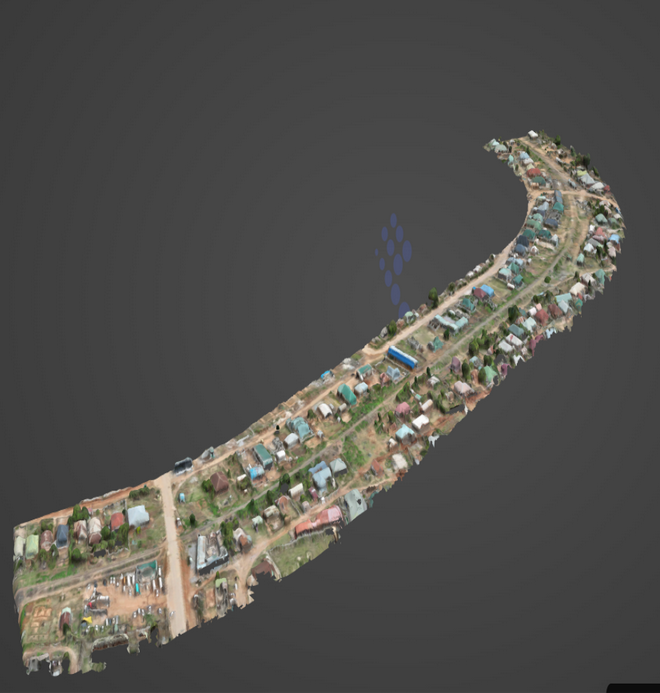
64km Railway Line Drone Survey & Mapping Project
Zambezi Drone Solutions successfully carried out drone surveying and mapping of the 64km railway line from Nkana, Kitwe to Mufulira in the Copperbelt Province. The project demonstrates our ability to deliver accurate aerial data for large-scale infrastructure corridors, supporting planning, monitoring, and decision-making through efficient drone-based mapping solutions.

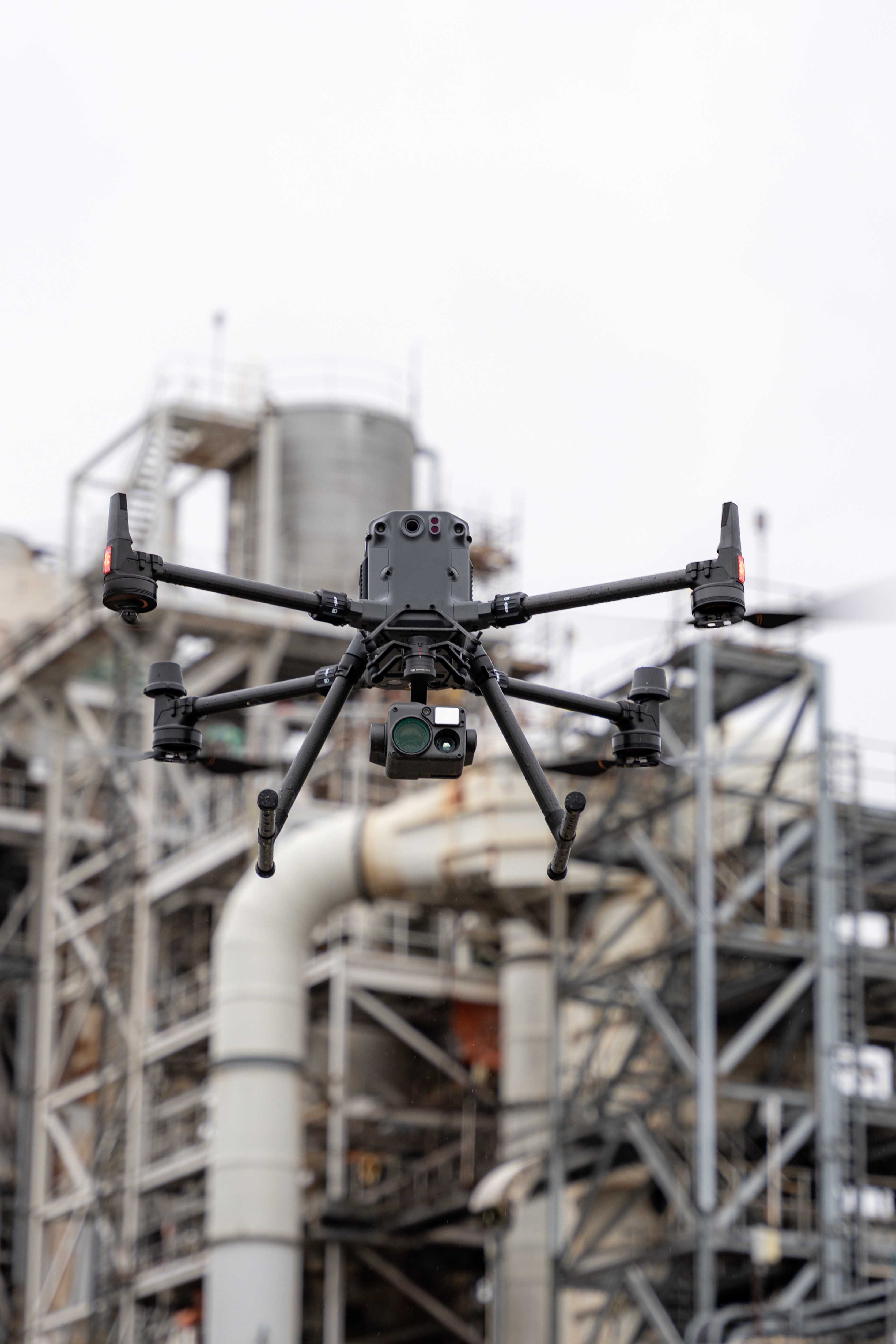
DJI Enterprise DRone Supply and Training
SIAVONGA, Zambia
Kariba Dam Plunge Pool Rehabilitation Project
We supplied our client Zambezi River Authority a DJI M350 RTK drone with Zenmuse L1 (Lidar) and P1 (Photogrammetry) payloads and trained staff how to operate it for site monitoring (3D Modelling, Highwall and Haul Road AI Analysis, Geological feature detection, Joints, and Discontinuities etc)

Drone Mapping
Lusaka, Zambia
National Land Titling Programme
Our founder is the RPAS Technical Consultant for Medici Land Governance in the execution of the ongoing Land Titling Programme

Survey and mapping
Lusaka, Zambia
Landfill Site Survey Lusaka Province
Our skilled team captured high-resolution aerial imagery, enabling detailed topographical mapping and comprehensive analysis of the site.

Panorama Captures
Copperbelt, Zambia
360 DEGREES DRONE PANORAMAS OF KONKOLA COPPER MINES SURFACE INFRASRTUCTURE
Captured panoramas of Konkola Copper Mines surface Infrastructure in Chingola and Chililambomwe on the Copperbelt Province of Zambia.

Survey and mapping
Mansa, Zambia
MANSA AIRPORT REHABILITATION PROJECT DRONE SUREVING AND MAPPING
Conducted photogrammetry RTK drone surveying of Mansa Airport as well as Ground Control establishment in Luapula Province Zambia.